How GeoGotar Trackers Can Be Used in Agriculture
Agriculture is increasingly driven by precision data. Modern farming operations depend on accurate positioning, automated machinery, and efficient field management to maximize crop yield while reducing operational costs.
GeoGotar provides high-accuracy RTK positioning and geofencing tools that help farmers monitor tractors, combines, and other agricultural machinery in real time. By combining field-level positioning with cloud-based monitoring, the platform helps farms operate more efficiently and safely.
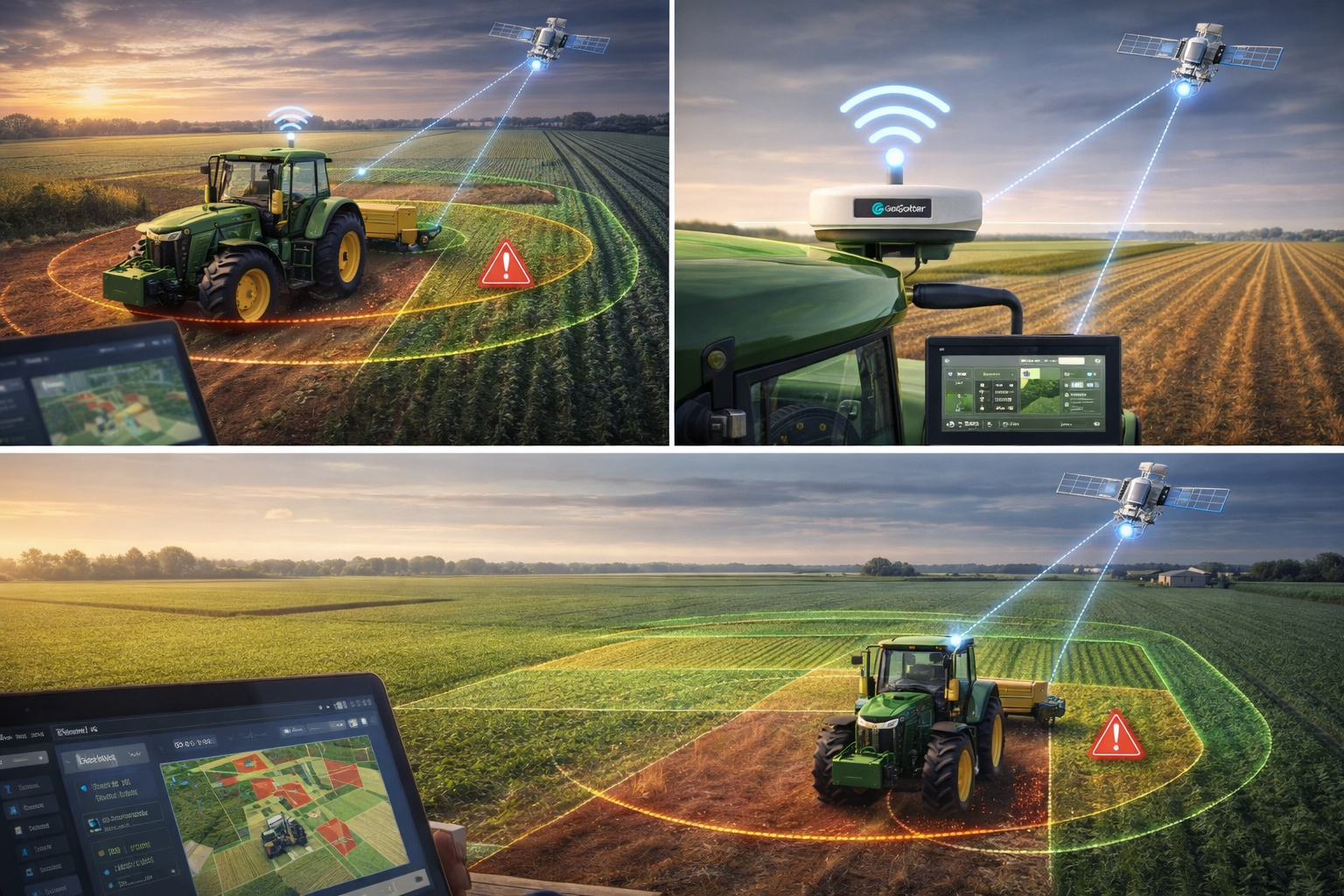
RTK Precision for Farm Equipment
Traditional GPS accuracy is often insufficient for precision farming. GeoGotar RTK trackers provide centimeter-level positioning accuracy, allowing farmers to precisely track the location of tractors, sprayers, harvesters, and autonomous agricultural equipment.
Each GeoGotar tracker can be installed on agricultural machinery and connected to the GeoGotar platform, where farmers and operators can monitor equipment location, movement history, and current operational status.
Precision Farming Applications
- Track tractors and agricultural equipment across large fields.
- Monitor machinery movement during planting, fertilizing, and harvesting.
- Optimize field routes to reduce fuel consumption and overlap.
- Support precision agriculture workflows and automated farming systems.
- Monitor equipment utilization and operational efficiency.
Geofencing for Farm Management
GeoGotar allows farms to define geofence zones across agricultural land and facilities. These zones can represent fields, restricted areas, equipment parking zones, storage locations, or livestock areas.
When equipment enters or exits these zones, the system can generate events that help operators track field activity and ensure machinery is being used where it should be. This is particularly useful for large farms or multi-field operations.
Equipment Monitoring Across Large Farms
Large agricultural operations often involve multiple tractors and machines operating across different fields simultaneously. GeoGotar provides a centralized platform where farm managers can see all active machinery in one interface.
The platform can display live equipment location, active geofence zones, and operational status, giving farm managers a clear overview of ongoing work.
Offline Operation in Rural Areas
Farming operations often take place in areas with limited connectivity. GeoGotar devices are designed to support offline-capable logic, allowing trackers to continue evaluating geofence rules locally even when internet connectivity is unstable.
Once connectivity is restored, the device synchronizes collected data with the GeoGotar platform, ensuring the system maintains a complete history of field operations.
Why GeoGotar Works for Agriculture
GeoGotar combines RTK positioning, geofence management, remote configuration, and cloud monitoring into a single system designed for real-world field conditions.
This allows agricultural operations to improve efficiency, track equipment usage, and support modern precision farming practices without requiring complex infrastructure.
Key Benefits for Agriculture
- Centimeter-level RTK tracking for farm equipment.
- Improved field operation visibility.
- Better planning of planting and harvesting routes.
- Reduced equipment idle time.
- Geofence monitoring across large agricultural areas.
- Offline operation support in remote locations.