How GeoGotar Trackers Can Be Used in Public Safety
Public safety operations require precise location awareness, fast coordination, and reliable field visibility. Whether teams are responding to an emergency, establishing a temporary perimeter, managing a hazardous area, or coordinating multiple vehicles and personnel, location accuracy directly affects safety and operational effectiveness.
GeoGotar helps public safety organizations monitor responders, support vehicles, and mobile assets with RTK-enhanced positioning, geofence logic, and real-time platform visibility. The system can be used to improve awareness during emergency response, incident command, perimeter management, and field coordination.
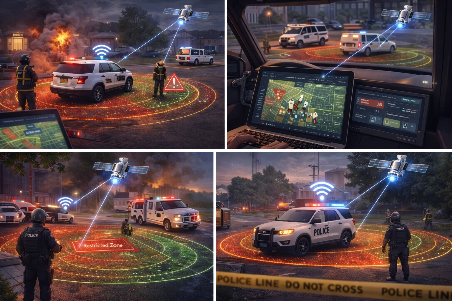
Track Responders and Vehicles With Higher Positional Accuracy
Standard GPS is often sufficient for broad regional awareness, but many public safety situations need more precise location data. GeoGotar RTK-enabled tracking improves location accuracy, helping teams understand exactly where responders, units, or support equipment are positioned in relation to incident boundaries and operational zones.
Trackers can be attached to vehicles, command assets, mobile equipment, or carried by personnel depending on mission requirements. The GeoGotar platform can then display real-time position, movement history, zone status, and field events in a centralized interface.
Public Safety Use Cases
- Track responder location during emergency operations.
- Monitor vehicles and support assets around incident scenes.
- Create temporary geofenced perimeters around restricted or hazardous areas.
- Detect entry into controlled zones or unsafe operational regions.
- Support incident command with live map-based visibility.
- Review movement history and event logs after an operation.
Geofencing for Incident Zones and Temporary Perimeters
GeoGotar geofencing can be used to establish temporary boundaries around incidents, evacuation areas, command perimeters, staging zones, exclusion zones, or hazardous operational areas. These zones can be created centrally and distributed to active field devices.
When tracked responders or vehicles enter, exit, or approach those areas, the platform can generate events and alerts. This can help supervisors maintain awareness of who is inside a controlled zone, whether a unit crossed a boundary, or whether assets are positioned where they should be.
Operational Awareness in Fast-Changing Environments
Public safety conditions can shift rapidly. A temporary perimeter may need to move, a hazardous area may expand, or teams may need to reassign assets in real time. GeoGotar helps support these dynamic workflows by combining remote configuration, live tracking, and cloud-connected visibility.
This makes the platform suitable for emergency scenes, disaster response, public event security, industrial safety response, and any operation where spatial awareness is critical.
Offline-Capable Field Logic
Public safety teams may operate in areas with degraded connectivity or infrastructure damage. GeoGotar devices can continue using locally loaded logic and geofence rules when cloud connectivity is unstable, helping preserve field awareness even in difficult communication environments.
When connectivity is restored, the device can synchronize important data, position history, and event records back to the platform for review and coordination.
Command Visibility and Post-Event Review
In addition to live monitoring, GeoGotar supports historical review of tracked movements and event activity. That can help with operational analysis, after-action review, timeline reconstruction, and internal documentation after an incident or field deployment.
Why GeoGotar Works for Public Safety
GeoGotar combines RTK positioning, geofence logic, remote device management, and cloud integration into one platform. For public safety organizations, this creates a practical tool for real-time situational awareness, spatial control, and responder visibility across complex and dynamic environments.
Key Benefits for Public Safety
- Improve responder and vehicle location awareness.
- Establish and monitor temporary operational perimeters.
- Support incident command with live map visibility.
- Detect entry into restricted or hazardous areas.
- Continue field logic in partially connected environments.
- Review movement history and operational events after deployment.