How GeoGotar Can Be Used in Drone Operations
Drone operations require accurate positioning, mission awareness, and reliable control over where aircraft are allowed to fly. In industrial, infrastructure, agriculture, inspection, and public safety environments, even small positioning errors can affect mission quality, safety margins, and regulatory compliance.
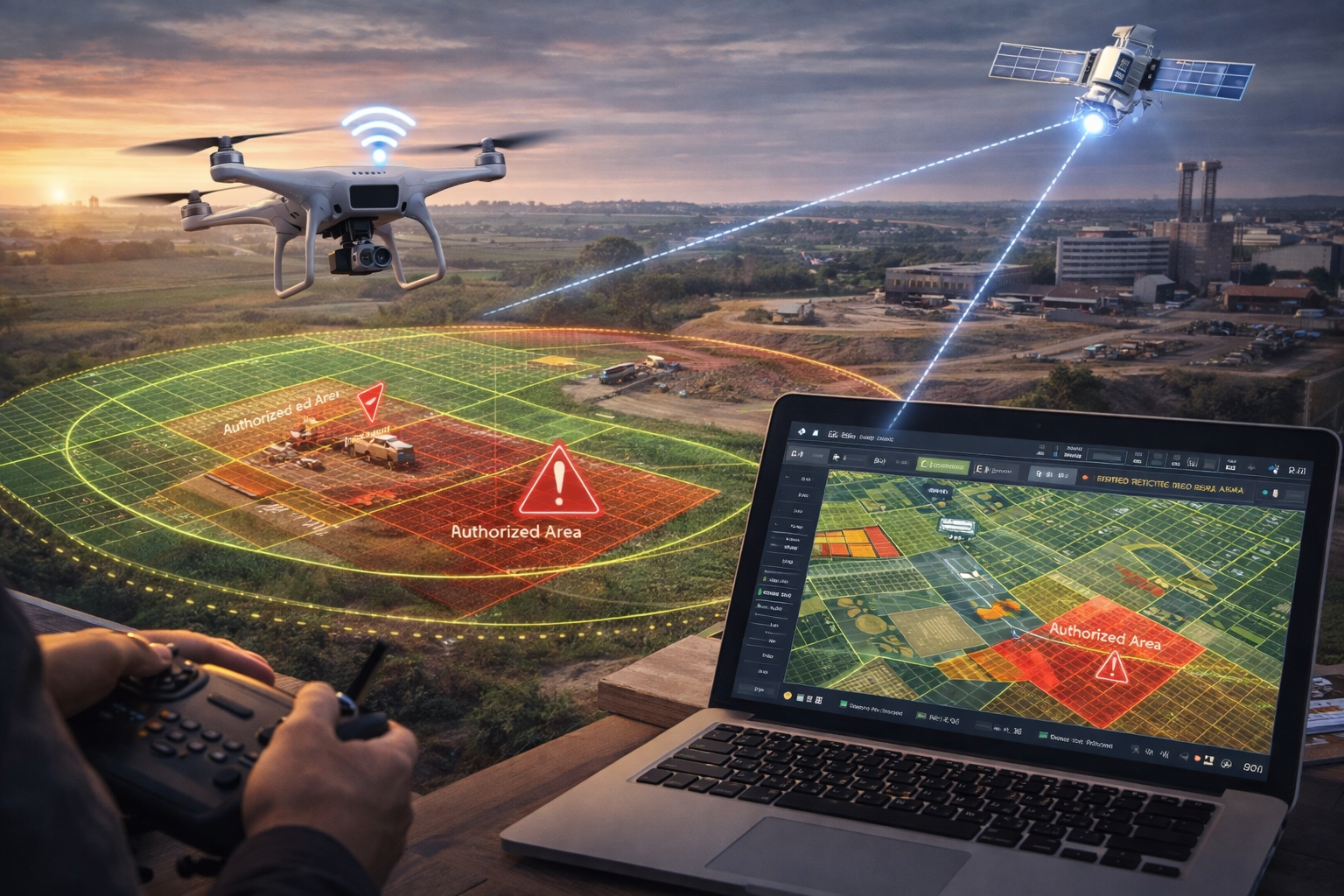
GeoGotar helps support drone operations by combining RTK-enhanced positioning, geofence management, and real-time map visibility in a single platform. This makes it possible to track UAV movement more precisely, define mission boundaries, monitor restricted areas, and improve operational awareness during flight.
RTK Positioning for More Precise Flights
Standard GPS may be enough for basic drone navigation, but advanced workflows often demand better positional accuracy. GeoGotar supports RTK-level tracking to provide a more precise foundation for drone operations, especially in use cases such as surveying, mapping, inspection, corridor monitoring, and field automation.
This improved accuracy helps operators maintain better confidence in aircraft position relative to mission zones, infrastructure assets, exclusion boundaries, and takeoff or landing locations.
Drone Operations Use Cases
- Track drone position during active missions with higher spatial accuracy.
- Define geofenced mission areas and no-fly zones.
- Monitor aircraft relative to critical infrastructure or hazard boundaries.
- Support site inspection, surveying, and mapping workflows.
- Control temporary flight perimeters in construction, industrial, or emergency environments.
- Review mission history and zone events after flight.
Geofencing for Mission Control and Safety
GeoGotar geofencing can be used to create allowed operating areas, restricted regions, temporary no-fly zones, landing corridors, or altitude-sensitive mission boundaries. These zones help operators manage where drones should and should not go during a mission.
When an aircraft enters, exits, or approaches a defined boundary, the platform can generate alerts, record the event, and help mission supervisors understand what is happening in real time. This is useful for safety, compliance, and operational control.
Real-Time Mission Awareness
During an active drone operation, teams often need more than a live video feed. They need spatial awareness: where the aircraft is, how it relates to mission boundaries, whether it is drifting toward a restricted area, and how multiple devices or assets are positioned together.
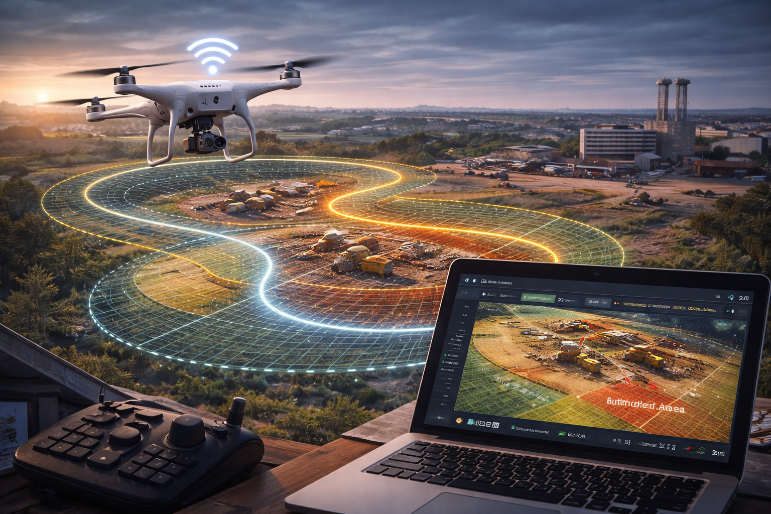
GeoGotar provides map-based visibility for those workflows, helping operators and supervisors understand flight position, zone status, and mission context from a centralized view.
Support for Dynamic Field Environments
Drone missions are often conducted in environments that change quickly. Construction sites evolve, inspection boundaries shift, emergency zones expand, and temporary restrictions may need to be updated during the mission window.
GeoGotar supports remote configuration and centralized zone management, making it easier to adjust mission logic and field boundaries without rebuilding the entire operating workflow.
Offline-Capable Operational Logic
Some drone missions take place in rural or partially connected environments. GeoGotar supports offline-capable logic so that essential mission and zone awareness can continue even when connectivity is limited. Data can later be synchronized to the platform when the connection returns.
Why GeoGotar Works for Drone Operations
GeoGotar combines RTK positioning, geofence management, remote configuration, and cloud-based visibility into a platform suitable for UAV operations that need both precision and operational control. It can support drone teams that require more than simple consumer flight awareness, especially in enterprise and industrial scenarios.
Key Benefits for Drone Operations
- Improve positional accuracy for UAV missions.
- Define and monitor geofenced mission boundaries.
- Track aircraft relative to infrastructure and restricted zones.
- Support safer flight operations in complex environments.
- Improve operational awareness for mapping, inspection, and industrial missions.
- Review mission events and zone interactions after flight.