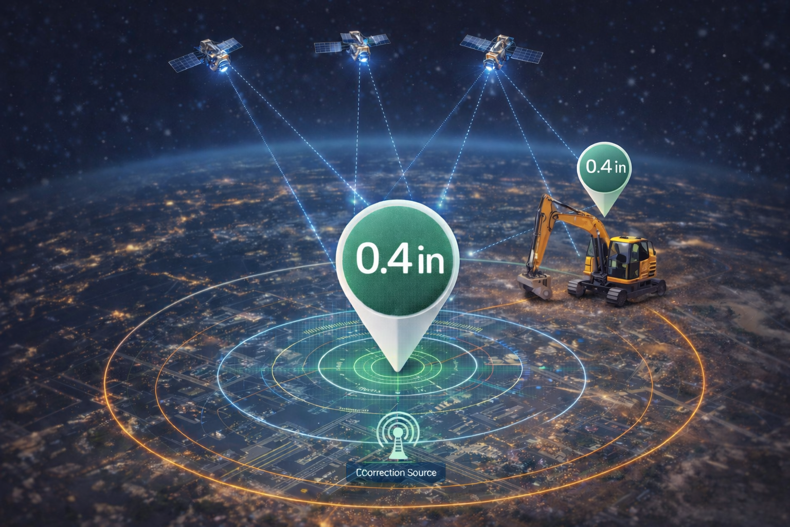
How GeoGotar Real-Time RTK Tracking Works
GeoGotar combines RTK-capable hardware, GNSS positioning, correction data, and cloud-connected software to provide high-accuracy real-time tracking in the field. Each GeoGotar device continuously calculates its position and transmits location data to the platform for visualization, safety logic, and operational analysis.
Unlike standard GPS-only systems, RTK tracking uses correction data to improve positioning accuracy dramatically. This allows GeoGotar to determine where a worker, vehicle, or machine is located with far greater precision than conventional tracking solutions, making it suitable for use cases where meter-level error is not acceptable.
From Raw Satellite Data to Actionable Positioning
At the device level, GeoGotar receivers process GNSS satellite signals and, when available, apply RTK correction data from supported correction sources. The corrected position is then used locally on the device and shared with the platform, enabling real-time monitoring and event detection.
This data flow supports both cloud-based visibility and on-device logic. GeoGotar can use precise positioning for live dashboards, dynamic geofencing, proximity alerts, offline safety checks, and event synchronization back to the platform once connectivity is available.
What Real-Time RTK Tracking Enables
- Centimeter-level(0.5 inch) positioning for workers, vehicles, equipment, and drones.
- Reliable proximity monitoring between moving assets.
- Dynamic geofence logic based on precise live location.
- Better collision prevention and hazard awareness workflows.
- Accurate event history, audit trails, and movement analysis.
- Improved operational visibility in complex job-site environments.
Why Precision Matters in the Field
In many operational environments, a positioning error of several feet or several meters is too large to make safe decisions. Construction zones, industrial sites, heavy equipment workflows, drone operations, and restricted hazard areas all require a more trustworthy location signal.
GeoGotar solves this by turning accurate RTK positioning into practical operational value. That means not just showing a point on the map, but using precise real-time coordinates to determine whether a worker is inside a restricted zone, whether two machines are entering an unsafe proximity threshold, or whether a tracked asset is following the expected path.
Online and Offline Position Awareness
GeoGotar is built for environments where connectivity may be intermittent. Devices can continue to compute location and apply field logic locally even when the network is unavailable. When a connection is restored, location history, events, and state changes can be synchronized back to the platform.
This approach allows teams to benefit from RTK accuracy not only in ideal connected scenarios, but also in remote, rural, industrial, and infrastructure environments where uninterrupted communications cannot always be assumed.
Key Benefits of GeoGotar RTK Tracking
- High-accuracy live location for real-world operations.
- Better geofencing and proximity detection performance.
- Stronger support for safety-critical use cases.
- Improved visibility across workers, equipment, and mobile assets.
- A foundation for collision prevention, remote monitoring, and autonomous workflows.