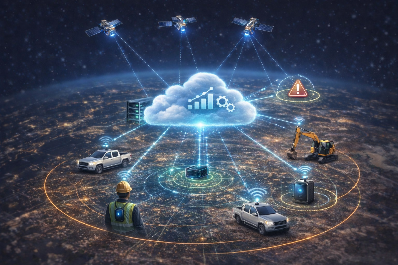
How GeoGotar Cloud Integration Works
GeoGotar uses cloud integration as the backbone for real-time monitoring, centralized device management, event processing, and platform-wide visibility. Devices in the field collect positioning, status, and safety data, then transmit that information to cloud services where it can be stored, processed, and distributed to users and applications.
This architecture allows GeoGotar to unify field operations and software workflows. A tracker on a worker, vehicle, or machine can produce location updates, geofence events, safety alerts, and telemetry, while the cloud platform turns that information into dashboards, notifications, historical records, and automation logic.
What Data Flows Through the Cloud
- Live RTK positioning data from tracked devices.
- Geofence entry, exit, and overlap events.
- Collision warnings and proximity alerts.
- Device health, battery, signal strength, and precision status.
- Configuration state and synchronization history.
- Historical movement data and operational event logs.
Real-Time Visibility Across Sites and Assets
With cloud integration, organizations can view active devices, assets, and workers from one central interface instead of relying only on local device behavior. Supervisors and operators can see live map data, monitor which zones are active, inspect recent field events, and track how devices are performing across multiple sites or deployments.
This is especially valuable for operations that involve distributed teams, multiple job sites, or mixed fleets of equipment and personnel. The cloud layer provides the shared source of truth for what is happening in the field.
Cloud-Connected Automation and Integration
GeoGotar cloud integration also enables event-driven workflows. When a device enters a restricted zone, loses precision, reports a warning, or triggers a collision-risk condition, the platform can distribute that event to user interfaces, notification systems, downstream APIs, data stores, or analytics services.
This makes the system suitable not only for visualization, but also for operational automation, compliance reporting, alert escalation, and integration with other business or safety tools.
Cloud and Edge Working Together
GeoGotar is not designed as a cloud-only system. It combines cloud integration with on-device intelligence so that critical logic can continue running even when connectivity is unstable. Devices can evaluate geofences, maintain local rules, and record important events offline, then synchronize those events to the cloud once a connection becomes available again.
This hybrid architecture helps organizations balance scalability and resilience. The cloud handles visibility, history, management, and automation, while the device continues to support field operations at the edge.
Why Cloud Integration Matters
Cloud integration turns GeoGotar from a single tracking device into a platform. It allows field data to become operational intelligence, connects devices to user workflows, and supports growth from a small pilot deployment to large-scale multi-site operations.
Key Benefits of GeoGotar Cloud Integration
- Centralize real-time field visibility across devices and sites.
- Store and analyze historical telemetry and event data.
- Support live dashboards, alerts, and event-driven workflows.
- Enable integration with other applications and APIs.
- Scale from limited deployments to large operational networks.
- Combine cloud visibility with offline-capable edge logic.